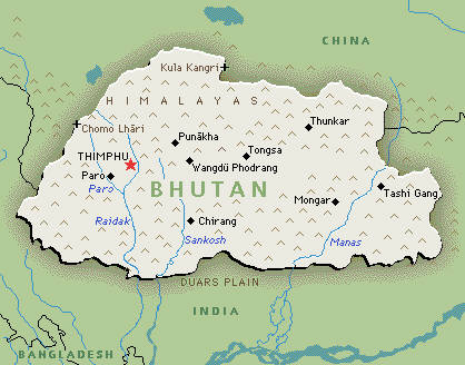
MAPS:
|

|
BASIC INFO:
- Total area: 38,394 sq km
- Land area: 38,394 sq km
- Water area:0 sq km
- Size comparative to U.S. territory: about one-half the size of Indiana
- shared borders of Countries/bodies of water: China 470 km, India 605 km
- Total distance of all land boundaries: 1,075 km
- Total distance of coastline: 0 km; the country is landlocked
- Climate: The climate here varies. Tropical climate in southern plains, cool winters and hot summers in central valleys, severe winters and cool summers in Himalayas
- Terrain: mostly mountainous with some fertile valleys and savanna
- lowest point of elevation: Drangeme Chhu 97 m
- highest point of elevation: Gangkar Puensum 7,570 m
